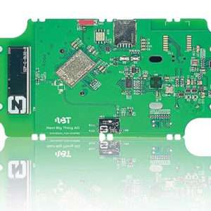
Photo: Next Big Thing German venture studio Next Big Thing AG (NBT) has launched the Prometheus internet of things (IoT) sensor-based development platform designed to simplify prototyping and speed time-to-market for developers of cellular IoT- and cloud-based solutions. The Prometheus…
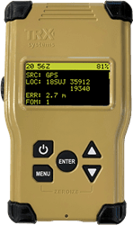
The TRX DAPS solution will allow warfighters to better target, move and communicate in operational environments where GPS is degraded or denied. TRX DAPS Dismounted A-PNT device. (Photo: TRX Systems) TRX Systems, developer of NEON GPS-denied location solutions, has been…
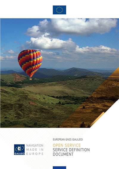
The European Union Agency for the Space Programme (EUSPA), together with the European Commission, have published the latest version of the Galileo Open Service Definition Document (OS SDD). The Galileo Open Service Definition Document (OS SDD) was updated to reflect…
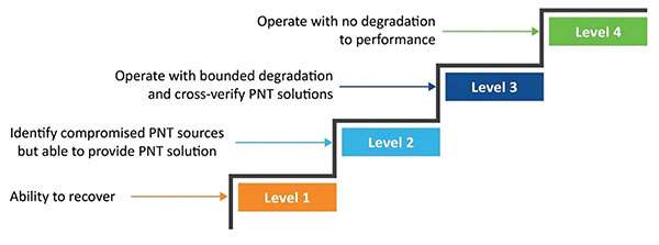
Managing live sky and terrestrial time sources to protect critical infrastructure against cybersecurity threats By Greg Wolff, Microchip Technology Critical public infrastructure systems that rely on GNSS for reception of positioning, navigation and timing (PNT) data have been identified by…
ION’s winter meeting, the International Technical Meeting (ITM), is a more intimate conference with a technical program related to positioning, navigation and timing and includes the ION Fellows and Annual Awards presentations. In 2022, ITM will take place in Long…
Danalto was visited by Ireland’s Minister Damien English upon the announcement of an ESA contract. (From left) English, Mary Kathryn Midgett (danalto), Tom Kelly (Enterprise Ireland) and David McDonald (danalto). (Photo: danalto) Dublin-based danalto Ltd., has won a contract with…
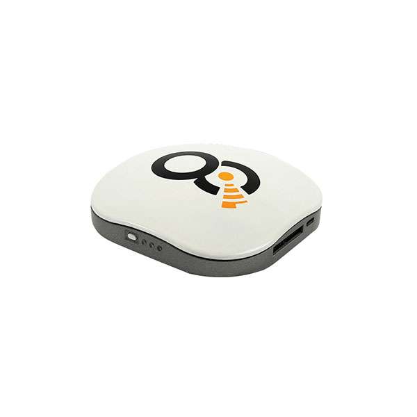
A roundup of recent products in the GNSS and inertial positioning industry from the December 2021 issue of GPS World magazine. OEM Satellite-cell terminal With built-in GPS receiver Photo: OQ OQ Technology’s dual-mode satellite-cellular IoT modem and tracker is a plug-and-play,…
Photo: Thinkstock/Stockbyte/Getty Images The National Highway Traffic Safety Administration (NHTSA) and Mission Critical Partners (MCP) will collaborate to assess the status of geographic information systems (GIS) within the 911 community. The goal of the initiative is to define what is…