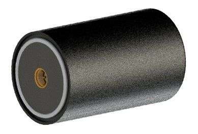
Advanced multi-frequency antenna shaped for high-precision applications featuring L-band corrections Photo: Maxtena Maxtena Inc. has introduced an advanced, tiny, patented GNSS antenna for high precision and autonomous multi-frequency applications. The M9HCT-A-SMA antenna is a high accuracy, multi-frequency active helix GNSS…
Study’s emphasis, timing of release, work against that, some say Image: Panuwat Sikham/iStock/Getty Images Plus/Getty Images The stated goal of a recently published RAND study was to answer a question from Congress about what should be done to back up…
1Spatial is making complex workflows easier to manage with the latest releases of its core products 1Integrate and 1Data Gateway. 1Spatial is a global geospatial software and solutions company. 1Data Gateway 2.4 now has an extended REST API enabling automated…
Photo: Jordanlye/iStock/Getty Images Plu/Getty Images The 2021 Right-of-Way Asset Mapping Exchange is an interactive online Virtual Conference Experience focusing on innovation in asset inventory and mapping that supports all phases of infrastructure lifecycles. It takes place July 13 and is…
Oxford Technical Solutions (OxTS) has launched the latest version of its lidar georeferencing software, OxTS Georeferencer 1.4. OxTS is taking steps to improve surveyor’s user experience, streamline survey processes, and allow surveyors to get to work faster, while simultaneously improving…
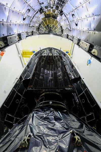
SpaceX launched into orbit for the U.S. Space Force an upgraded GPS satellite on June 17. The GPS III SV05/GPS III is the fifth Lockheed Martin-built, next-generation GPS III space vehicle. The SpaceX Falcon 9 rocket is the first U.S.…
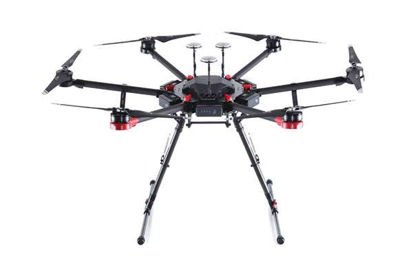
There is a lot of UAV action taking place this month. An anti-drone defensive system is being trialed by the U.S. Department of Homeland Security (DHS). DJI drones get the green light again for use by government agencies. The U.S.…
Global space community convenes in person and virtually Aug. 23-26 Space Foundation, a nonprofit advocate organization founded in 1983, is offering a hybrid in-person and virtual experience for its 36th Space Symposium. The event will take place Aug. 23-26 in…