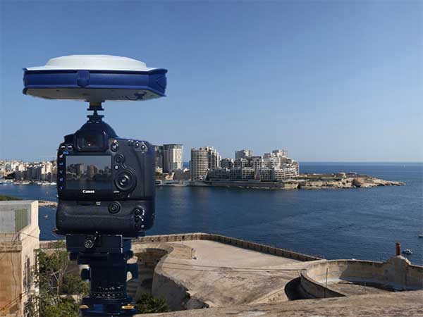
Photo: Spectra Precision Verified photomontages for UNESCO World Heritage sites achieves accuracy with Spectra Geospatial SP80 Verified photomontage is an important planning tool to envision how proposed surrounding development plans would affect UNESCO World Heritage sites. Verified photomontage demands the…
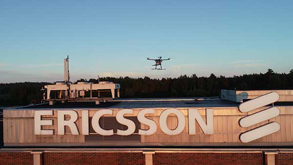
Photo: Rohde & Schwarz Test and measurement specialist Rohde & Schwarz has supplied mobile network testing tools used in drone-based network coverage, performance and operation tests managed by Ericsson, a global leader in network infrastructure. Testing mobile coverage. A project…
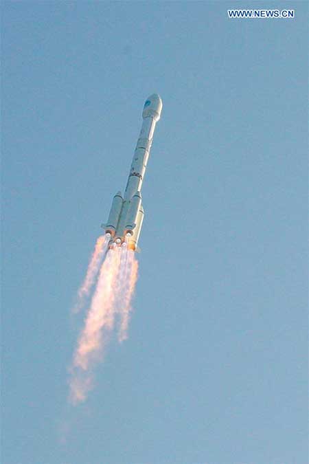
China sends two BeiDou satellites into space a Nov. 23. (Photo: Guo Wenbin/Xinhua) China launched two satellites of the BeiDou Navigation Satellite System (BDS) into space from the Xichang Satellite Launch Center in Sichuan Province at 8:55 a.m. Saturday, Nov.…
Autonomous vehicle startup announces availability of driving sensing solutions for purchase to OEMs DeepRoute has released for sale its autonomous vehicle sensing solution, DeepRoute-Sense. DeepRoute is a CES 2020 Innovation Award Honoree. Photo: DeepRoute DeepRoute-Sense is an L4-level self-driving full-stalk solution…
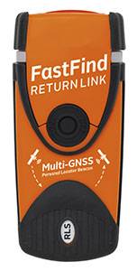
Photo: Orolia Orolia Maritime has revealed the FastFind ReturnLink PLB with Return Link System (RLS) life-saving beacon system. Orolia worked closely with the European GNSS Agency (GSA) on the Galileo satellite system since the company was selected to lead development…
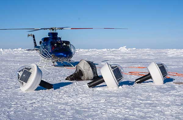
GNSS and inertial navigation sensors are meeting the challenges of extreme conditions, from freezing Arctic ice to the edges of steaming volcanoes, from high-speed aircraft over cities to the subways under them. Even beyond, into deep space. IN THE ARCTIC…
Speaking at the annual Stanford Positioning, Navigation, and Timing (PNT) Symposium, a Chinese representative described how her nation is building the world’s first resilient and robust, and, in her words, “comprehensive” PNT architecture. Xiaochun Lu presents at Stanford PNT Symposium…
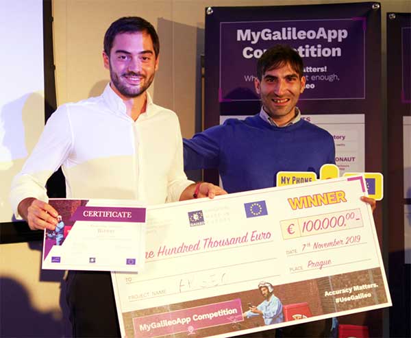
First place winners ARGEO accept their prize. (Photo: GSA) News from the European GNSS Agency The winners of this year’s MyGalileoApp competition were announced at a ceremony held at the European GNSS Agency (GSA) headquarters in Prague on Nov. 7.…