In my November 2023 GPS World newsletter, I highlighted the announcement made by the National Geodetic Survey (NGS) of the recipients of the National Oceanic Atmospheric Administration (NOAA) FY 23 Geospatial Modeling Competition Awards. The primary objective of these projects…
Image: SimActive SimActive Inc., a developer of photogrammetry software, and the Alabama Department of Transportation (ALDOT) have partnered to use SimActive’s Correlator3D software to process UAV imagery for damage assessment. In early 2023, a powerful tornado ripped through the southwest…
Google Maps has its roots deep in the Asia Pacific region. Back in 2004, two Aussies and two Danes in Sydney created the technology that underpinned Google Maps, a servi… Maps
Program will support positioning, navigation and timing (PNT) research at colleges and universities around the world Orolia has created the Orolia Academic Partnership Program (OAPP) to build a community to help foster global PNT research and collaboration at top engineering…
Photo: FilippoBacci/E+/Italy To comply with Federal Communications Commission (FCC) E-911 regulations, Qualcomm Technologies has enhanced its Qualcomm Location Suite to provide improved horizontal and vertical positioning information. The upgrade will help first responders better determine the floor within a multi-story…
Today is National Book Lovers’ Day in the U.S. Since we’ll take any excuse to celebrate our love of the written word, we’ve pulled together top U.S. trends from Search and Maps for our fellow bibliophiles out there, along with…
Editor’s note: COVID-19 Vaccination Search Insights is now available. Find the dashboard here. While over half of U.S. adults are fully vaccinated, vaccine uptake is slowing across the country. Research shows a variety of factors are preventing people from getting…
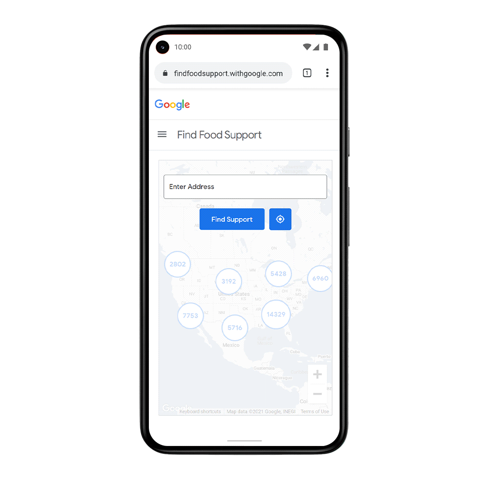
The COVID-19 pandemic and the economic crisis that followed exacerbated hunger for millions of people. Feeding America estimates that the number of those without reliable access to a sufficient quantity of affordable food grew to 45 million people in 2020,…